
Ram Shrestha
Senior Surveyor · LiDAR & Geospatial Survey
Profile
Ram Shrestha is a senior surveyor and drone pilot specialising in LiDAR and geospatial survey. He has worked on topographic, cadastral, geodetic and construction-layout survey since 2012, and has been with e2services since 2022.
His largest body of work is river-basin LiDAR for the Department of Hydrology and Meteorology — roughly 750 sq km across the Mawa–Ratuwa, East Rapti, Bakhara, Mohana–Kutiya and Lakandehi basins, spanning Jhapa, Chitwan, Morang, Kailali and Kanchanpur, and Sarlahi.
He flies the firm's UAV and LiDAR missions and processes what they return: ground control established by DGPS, high-precision levelling of benchmarks, aerial capture at 5–10 cm ground sample distance, and post-processing into DSM, DTM, orthophoto and 1:1000 topographic base maps.
Alongside the basin work he has surveyed about 90 sq km for the S8 Bagmati Irrigation extension command area in Mahottari, 80 sq km for flood hazard mapping of the Kankai basin, and 50 sq km for the Sisneri Water Supply dam design under the Bagmati River Basin Integrated Master Plan.
Before the aerial work he spent years on construction supervision survey — setting out and checking line and level on the Bheri Babai Diversion tunnel and on the 30 MW Chameliya hydroelectric project, including survey for the installation of its electro-mechanical and hydro-mechanical components.
Areas of expertise
- LiDAR and UAV/drone survey planning, flight and post-processing
- GNSS and DGPS ground control, and high-precision benchmark levelling
- River basin survey and flood hazard mapping
- DEM, DSM, DTM and orthophoto generation from aerial capture
- Topographic, cadastral and geodetic survey with total station and GNSS
- Engineering survey, construction layout, and line and level verification
- 1:1000 topographic base maps, 2D and 3D CAD drafting
- GIS output preparation, survey data processing and quality control
Selected assignments
- River-basin LiDAR for the Department of Hydrology and Meteorology — about 750 sq km in total: Mawa–Ratuwa, Jhapa (280 sq km); East Rapti, Chitwan (240); Bakhara, Morang (80); Mohana–Kutiya, Kailali and Kanchanpur (80); Lakandehi, Sarlahi (70)
- S8 Bagmati Irrigation extension command area, Mahottari — about 90 sq km of LiDAR
- Bagmati Irrigation Project rehabilitation and extension — 30 sq km, with DGPS control and 62 benchmarks by high-precision levelling
- Kankai River Basin flood hazard mapping, Department of Hydrology and Meteorology — 80 sq km, including river cross-section survey
- Sisneri Water Supply Project dam design, Bagmati River Basin Integrated Master Plan — 50 sq km LiDAR
- Bheri Babai Diversion Multipurpose Project — setting out and survey supervision on the 12.2 km TBM tunnel
- Chameliya Hydroelectric Project (30 MW) — construction and installation survey
- Kabeli Corridor 132 kV transmission line — alignment survey and mapping
Education
- Diploma in Geomatic Engineering — School of Geomatics, CTEVT, Nepal, 2012
- Remote Pilot Licence (RePL) — Civil Aviation Safety Authority, Australia
Toolkit
Also on the team
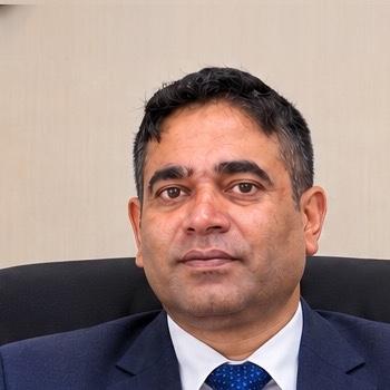 Rajeeb BaralManaging Director
 Narayan LamichhaneSurvey & Hydrology
 Prahlad TharuConstruction Supervision & Survey
 Sandip AdhikariStructural Engineering
 Sudeep ThapaHighway & Transportation
 Nikesh BhattaraiBridge & Road Design
 Kushal BaralHydropower & Hydrology
 Tridev GuptaArchitecture & Master Planning
 Sunil TiwariIndustrial & Mechanical Engineering
 Susen ShresthaGlacio-hydrology & Climate
 Amnaya PaudelEnergy & Electrical
 Jeevan GaireEnvironmental Assessment
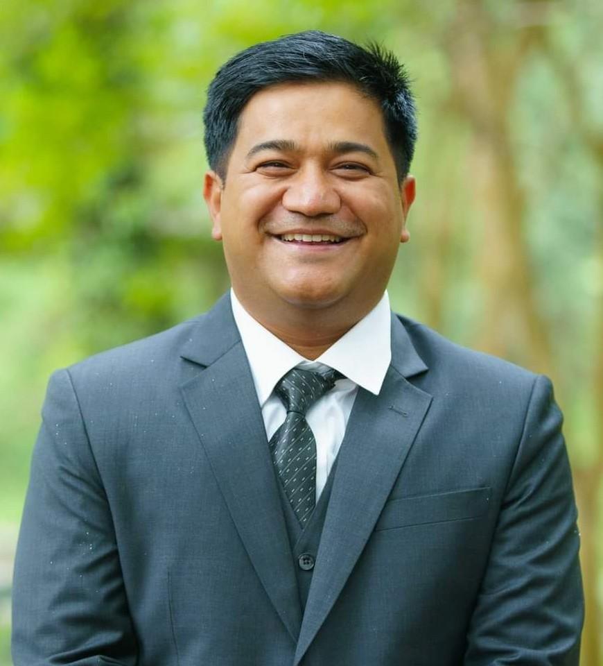 Samit ThapaEnvironment & Climate Change
 Rajan Babu ShresthaHydrology & River Survey
 Smita KhadkaEnvironmental Science & GIS
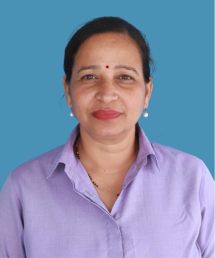 Sirjana BaralSocio-economics
 Srijana BhattaraiSocial Development
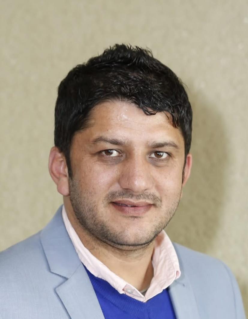 Bhesh Raj ThapaWater Resources
 Kripesh AdhikariHydrology & Cryosphere
 Anil GongolConstruction Supervision
Need a survey, a design package, or a multi-disciplinary study team?
Tell us about the corridor, basin, or facility. We will respond with the right mix of engineering and field capability.