
Survey, sensing, and computation ready for hard terrain.
The instruments and software we own and operate — survey, geophysics, computing and mobility. Owned equipment means schedule control on time-critical field windows.
Instruments we own and operate.
Owned equipment means schedule control — no waiting on rentals for time-critical field windows.
Survey & mapping
Wingtra One Gen II (VTOL)
PPK large-area mapping UAV
DJI Matrice 400 RTK
Enterprise UAV with intelligent battery station and Zenmuse L3 LiDAR module
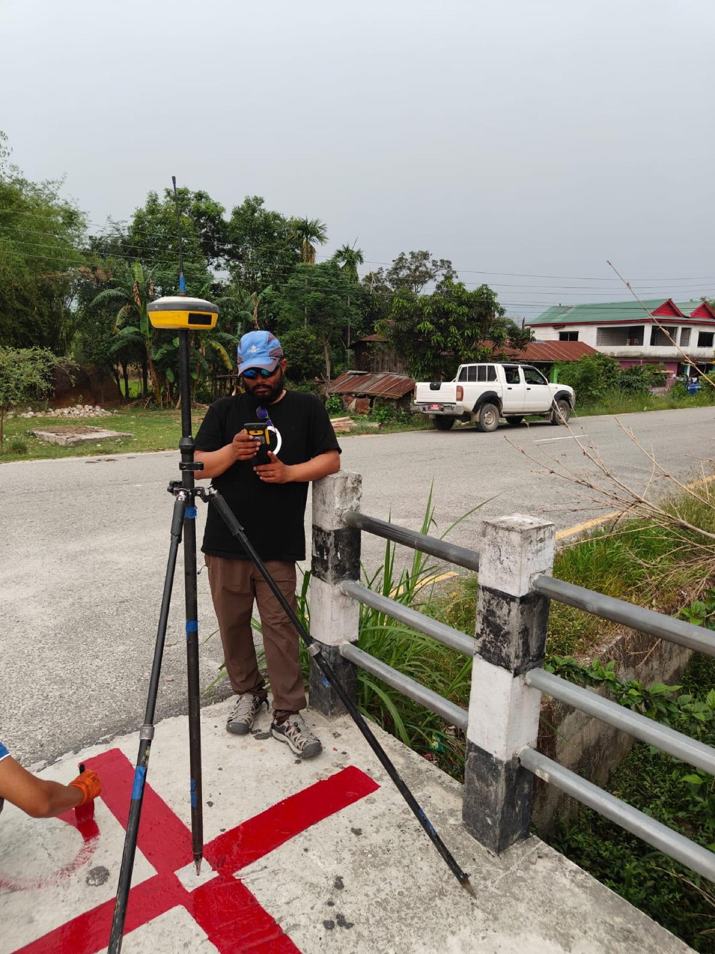
Stonex S900A GNSS
Multi-frequency DGPS / GNSS
E-Survey E600 GNSS
DGPS / GNSS receivers
Total Stations
Nikon DTM 322; Topcon GM-105, OS and GTS-235N series
Auto Levels
Sokia B40A, Nikon AC-2S
EDM Instruments
Gowin EDM S-Pro9060Z, Laser Lynx 6070M
Handheld GPS
Garmin
Abney Levels
SL-02
Levelling Staff & Compasses
Aluminium staff; Brunton, Silva and Suunto compasses
Geophysics
Multichannel Digital Seismograph (SRT)
Seismic refraction and MASW surveys
Seismic Accessories
Vertical geophones, Terraloc Pro 2 24-channel, sledgehammer, trigger switch (MASW / SASW)
Dynamic Cone Penetrometers (DCPT)
With Proctor hammer, for subgrade and shallow subsurface testing
Current Meters
Discharge measurement
Conductivity Meter
PCD-432 — field water quality
Computing
Processing Workstation
GPU workstation for LiDAR, photogrammetry and point-cloud processing
Mobility
Field Vehicles
4WD pickup and SUV for remote site access
Why we own it
Field windows in Nepal are short and weather-bound. A pre-monsoon corridor survey or a reservoir at low water happens when conditions allow, not when a rental becomes free. Owning the instruments turns mobilisation into a scheduling decision.
Ask us for the full inventory, staff list and financial standing when you need them for a submission.
From the survey lead
A LiDAR block is mostly ground work. Before the aircraft leaves its case there are DGPS control points to establish and benchmarks to carry in by precise levelling — sixty-two of them on the Bagmati extension alone. That network is what makes a point cloud measurable rather than merely detailed.
Owning the aircraft means we fly when the weather and the water level allow, not when a rental frees up. For the Department of Hydrology and Meteorology that has come to about 750 square kilometres across five river basins — Mawa–Ratuwa, East Rapti, Bakhara, Mohana–Kutiya and Lakandehi — with a further 90 on the S8 Bagmati irrigation extension, and separate blocks on the Kankai and at Sisneri. All of it flown at five to ten centimetre ground sample distance and processed here into the DEMs, orthophotos and 1:1000 base maps the design teams work from.
Ram ShresthaLiDAR & Geospatial SurveyAnalysis and design toolchain.
Industry-standard packages used across hydrology, structures, roads, and spatial analysis.
AutoCAD
CAD drafting and drawing production
Civil 3D
Civil and road design, corridor modelling
Auto Civil Design
Road and structure design
SW Road / Smart Road
Road design and pavement software
SAP2000
Structural analysis and design
ArcGIS
Spatial planning and GIS mapping
HEC-RAS / HEC-HMS
Hydraulic and hydrological modelling
HYDRA-A
Nepal-specific hydrological estimation
MODFLOW
Groundwater numerical modelling
MS Project
Scheduling and documentation
Need a survey, a design package, or a multi-disciplinary study team?
Tell us about the corridor, basin, or facility. We will respond with the right mix of engineering and field capability.