
Land Survey, Drone & LiDAR Mapping
Topographic survey and site mapping for roads, bridge sites, irrigation command areas and structures, infrastructure alignments, and foundation stability and settlement monitoring.
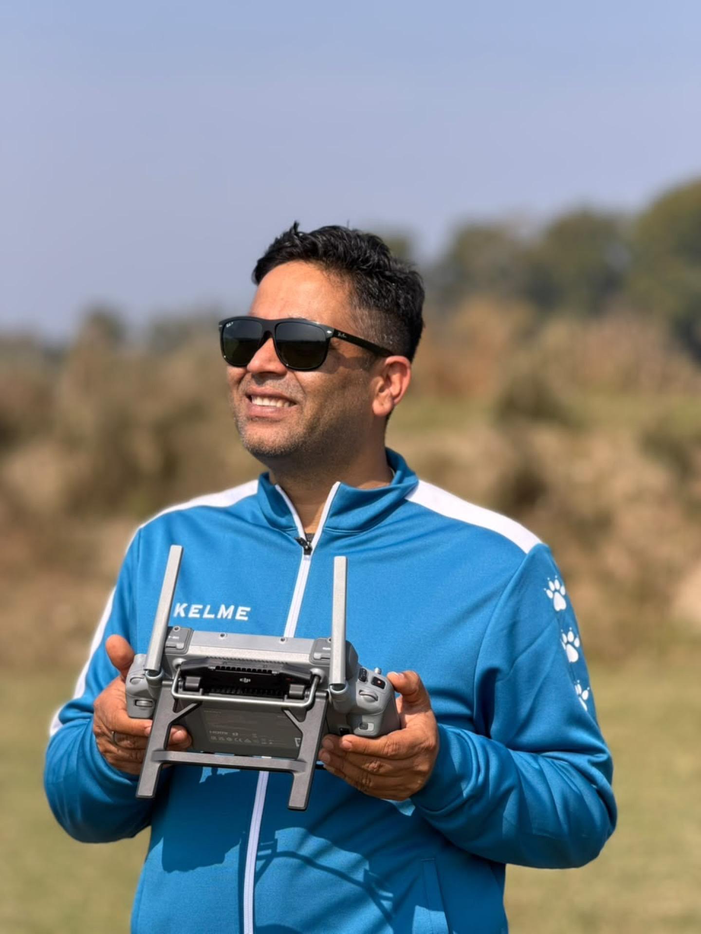
Survey is the layer everything else in a project rests on, and it is the layer clients are least able to check. A sparse survey produces a plausible-looking drawing set and an implausible bill of quantities. Because of that, we own our instruments rather than renting them — which also means a time-critical field window is a scheduling decision, not a negotiation with a rental market.
The fleet covers the range of Nepali survey problems. A Wingtra One Gen II VTOL with PPK handles large-area mapping where a multirotor would need a dozen flights. A DJI Matrice 400 RTK carrying a Zenmuse L3 LiDAR module gets terrain under vegetation, which matters on hill corridors where photogrammetry alone returns canopy rather than ground. Multi-frequency GNSS — Stonex S900A and E-Survey E600, seven receivers between them — establishes the control that ties it all together, and five total stations handle the detail that aerial methods cannot see.
That capability has been applied to some of the country's harder survey settings. Bathymetric and topographic survey of Rara Lake at altitude in Mugu, for the Department of Hydrology and Meteorology. Mean sea level benchmarks across fifteen hydrological stations in the Karnali and Bheri basins. A 32.6 km strategic road section on the Karnali Corridor for the Nepalese Army.
Beyond mapping, we carry out foundation stability and settlement monitoring for major structures — repeat precise levelling against a stable reference, which is the only way to distinguish a structure that is moving from one that was always slightly out of level.
What we deliver
- Topographic survey and preparation of site maps
- Survey of roads, bridge sites, irrigation command areas, structures and buildings
- Infrastructure alignment survey for canals, drains and roads
- Foundation stability and settlement monitoring for major structures
- Bathymetric survey and benchmark establishment
How the work runs
- 01
Control network establishment
Primary and secondary control established by GNSS and tied to national datum or established benchmarks, because every downstream accuracy claim inherits from this step.
- 02
Acquisition planning
Method chosen against terrain, vegetation and required accuracy — VTOL photogrammetry, LiDAR, total station detail, or a combination.
- 03
Field acquisition
Flight or ground survey executed with ground control, redundant observation and same-day quality checks while the crew is still on site.
- 04
Processing and model generation
Point cloud and imagery processed to DEM, DTM and orthomosaic, with classification separating ground from vegetation and structures.
- 05
Deliverable preparation
Contours, cross sections, strip maps and CAD deliverables produced in the format the design team or agency will actually use.
What you receive
- Control network report and coordinate schedule
- Classified point cloud and digital terrain model
- Orthomosaic imagery
- Contour maps and strip maps
- Cross sections and longitudinal profiles
- Bathymetric survey data and lake or river bed models
- Benchmark establishment and levelling records
- CAD and GIS data package
Common questions
Do you own your survey equipment or rent it?
We own it. That includes the Wingtra VTOL, the Matrice 400 RTK with LiDAR payload, seven GNSS receivers and five total stations. For time-critical field windows — a pre-monsoon survey, a reservoir at low water — owned equipment is the difference between mobilising and waiting.
Can you get ground surface under forest cover?
That is what the Zenmuse L3 LiDAR payload is for. Photogrammetry returns canopy in vegetated terrain; LiDAR returns points between the leaves, which are then classified to separate ground from vegetation.
What accuracy can you deliver?
It depends on the control network, the method and the terrain, so we state achievable accuracy against a specific site rather than quoting a headline figure. PPK and RTK workflows tied to a properly observed control network are what make the number defensible.
Do you do underwater or lake bed survey?
Yes. Bathymetric and topographic survey of Rara Lake in Mugu was delivered for the Department of Hydrology and Meteorology, combining bathymetry with shoreline topographic survey against established control.
Need a survey, a design package, or a multi-disciplinary study team?
Tell us about the corridor, basin, or facility. We will respond with the right mix of engineering and field capability.