
Roads, Highways & Bridges
Transportation planning studies, detailed engineering survey, design and cost estimate of roads and bridges, pavement condition evaluation, and construction quality supervision.
Most of what goes wrong on a Nepali road contract is decided before construction starts. An alignment set on an unstable slope, a drainage design that ignores a debris channel, a quantity estimate built on a survey that was never dense enough — these are survey and design failures that arrive as variation orders and slope failures two monsoons later.
e2services has delivered detailed engineering survey, design and DPR packages for the Department of Roads, the Nepalese Army's Directorate of Development and Construction, and rural and provincial governments — including a 749 km double-lane standard roads DPR, a 40 km section of NH60, and a 32.6 km strategic section of the Karnali Corridor. The scale varies; the method does not.
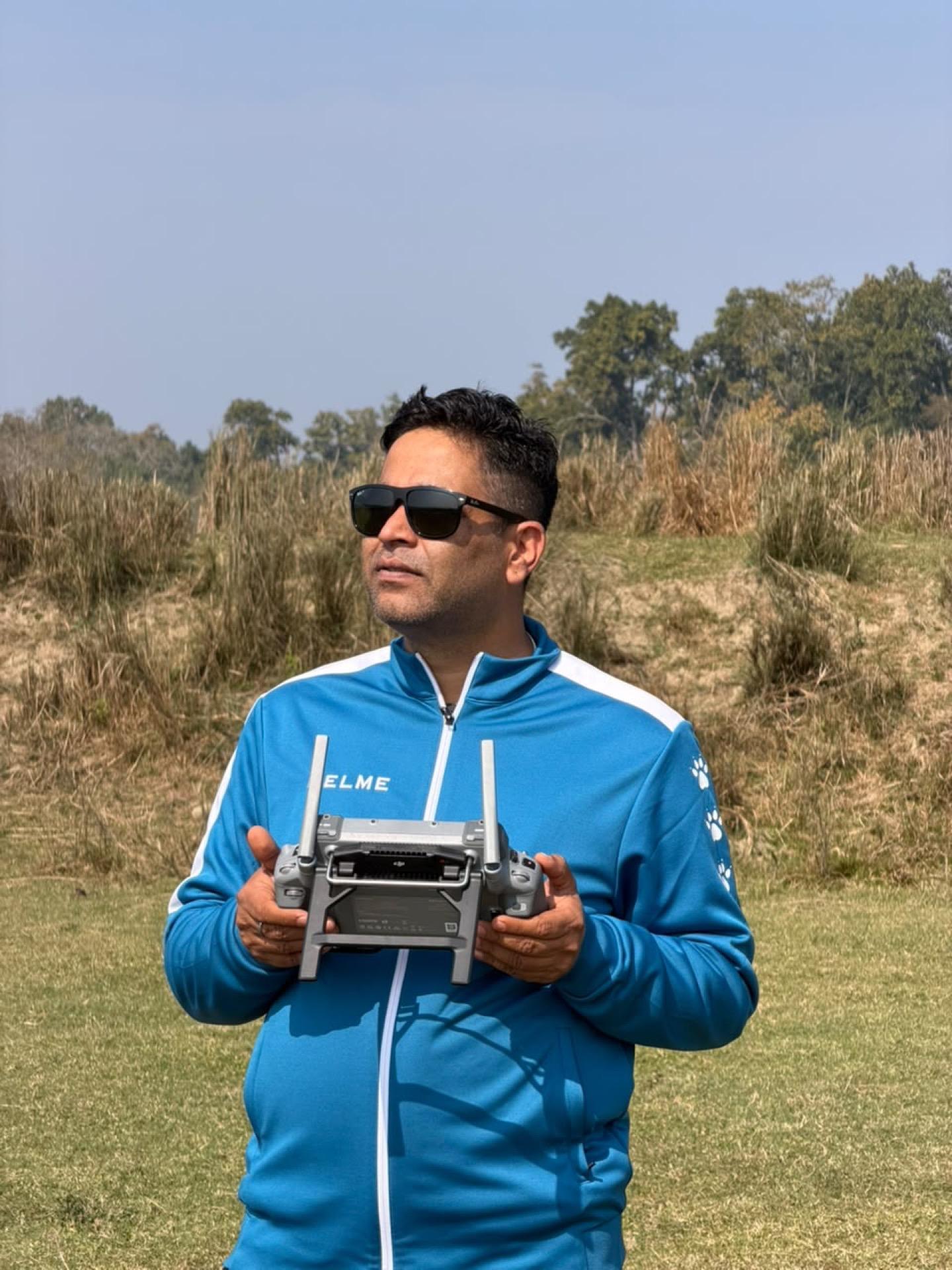
Our survey capability is the reason. Corridor survey runs on multi-frequency GNSS and, where terrain and vegetation allow, VTOL and LiDAR-capable UAV platforms that produce a dense terrain model rather than a string of cross sections. Geometric design, drainage, structures and quantities are then developed against a surface that reflects the ground as it actually is.
Beyond new alignments, we carry out pavement condition evaluation and maintenance planning with investment prioritization — the analysis that tells an asset owner which sections to treat first with the budget that exists, rather than which sections are worst.
What we deliver
- Transportation planning studies and corridor assessment
- Detailed engineering survey, design and cost estimate of roads and bridges
- Quality control of construction supervision
- Pavement condition evaluation, maintenance and rehabilitation planning with investment prioritization
- Site selection, land-use and environmental studies, and geotechnical investigation
How the work runs
- 01
Reconnaissance and corridor assessment
Route options walked and assessed for terrain, geohazard exposure, settlement impact and structure requirements before survey is committed.
- 02
Control and detailed survey
GNSS control network established, then detailed topographic survey by total station and, where suitable, UAV photogrammetry or LiDAR for corridor-wide terrain.
- 03
Geotechnical and drainage investigation
Dynamic cone penetrometer testing, seismic refraction where subsurface conditions govern, and hydrological assessment of every crossing.
- 04
Geometric and structural design
Horizontal and vertical alignment, cross sections, earthworks balance, pavement design, and design of bridges, culverts and retaining structures.
- 05
Estimates and DPR compilation
Quantities, rate analysis, cost estimate, drawings and report compiled into the DPR format the procuring agency requires.
What you receive
- Detailed Project Report (DPR)
- Topographic survey data, strip maps and digital terrain model
- Horizontal and vertical alignment with cross sections
- Pavement design and drainage design
- Bridge, culvert and retaining structure drawings
- Geotechnical investigation report
- Bill of quantities, rate analysis and cost estimate
- Pavement condition survey and prioritised maintenance programme
Common questions
What length of road corridor can you survey?
We have delivered a DPR covering 749 km of double-lane standard roads and a 32.6 km section of the Karnali Corridor. Owned VTOL and LiDAR-capable UAV platforms mean corridor length is a scheduling question rather than a capability limit.
Do you supervise construction as well as design it?
Yes. Quality control of construction supervision is part of our published transport scope, alongside survey and design. Continuity matters here — the team that set the alignment understands what the drawings assumed.
Can you evaluate an existing road rather than design a new one?
Pavement condition evaluation, and the identification and planning of maintenance and rehabilitation with investment prioritization, is a distinct service we provide to asset owners deciding where a limited budget does the most good.
Need a survey, a design package, or a multi-disciplinary study team?
Tell us about the corridor, basin, or facility. We will respond with the right mix of engineering and field capability.