
Narayan Lamichhane
Civil Engineering · Survey · Hydrology & Water Resources
Profile
Narayan Lamichhane is a civil engineer working across surveying, hydrology, water resources, river engineering, irrigation and bridge engineering. He has worked as a civil engineer, civil sub-engineer, surveyor and assistant hydrologist, which puts the field measurement and the analysis that follows it in the same pair of hands.
His survey work covers detailed engineering and topographical survey, DGPS/RTK and drone capture, and river profile, longitudinal and cross-section survey. On the hydrology side he handles discharge measurement, hydrological and hydraulic analysis, flood hazard mapping and the design of river training and protection structures.
He has taken part in the detailed engineering survey and design of trail bridges across a number of districts, alongside river protection, irrigation and water supply assignments.
His wider technical range takes in watershed management and soil conservation, landslide survey and assessment, groundwater and hydrogeological investigation, geophysical survey by 2D electrical resistivity tomography, GIS mapping, and the cost estimation and reporting that closes out an assignment.
Areas of expertise
- Detailed engineering survey and design
- Topographical survey using DGPS/RTK and drone
- River profile, longitudinal and cross-section survey
- Hydrological study, discharge measurement and hydraulic analysis
- Flood hazard mapping, river training and river protection works
- Irrigation system survey and analysis, and water supply engineering
- Trail bridge survey and design
- Geophysical survey by 2D electrical resistivity tomography
- Groundwater and hydrogeological survey
- Watershed management, soil conservation and landslide assessment
- GIS mapping, engineering reporting and cost estimation
Education
- M.Sc. Disaster Risk Engineering and Management — Lumbini Buddhist University, Nepal, 2021
- B.E. Civil Engineering — Kantipur Engineering College, Tribhuvan University, Nepal, 2014
- Diploma in Civil Engineering — Institute of Engineering, Thapathali, Tribhuvan University, 2006
Toolkit
Also on the team
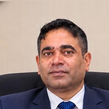 Rajeeb BaralManaging Director
- Ram ShresthaLiDAR & Geospatial Survey
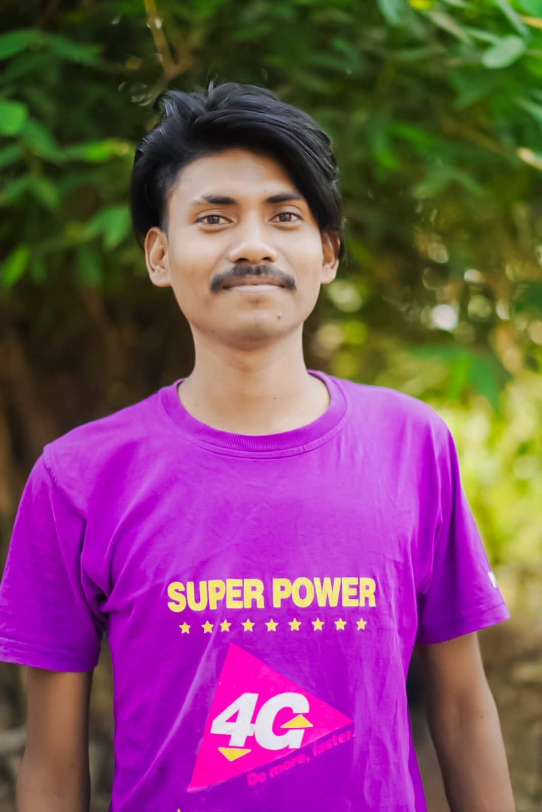 Prahlad TharuConstruction Supervision & Survey
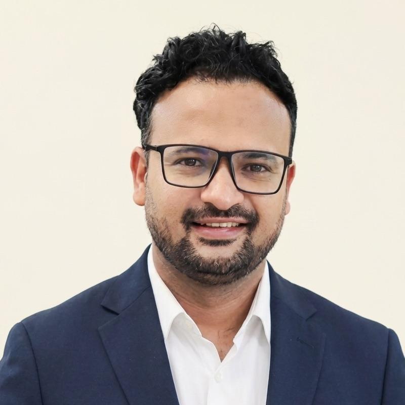 Sandip AdhikariStructural Engineering
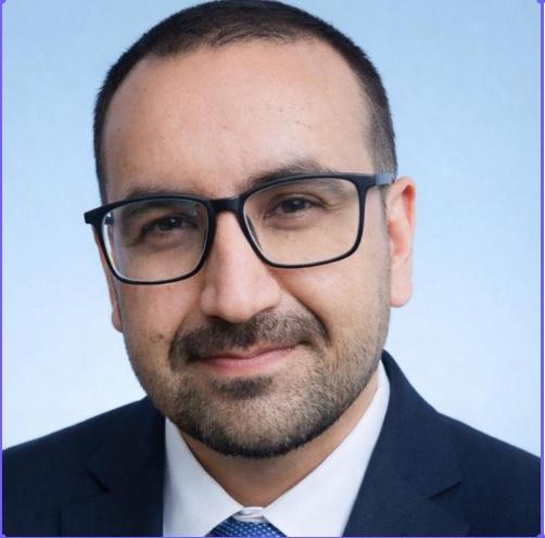 Sudeep ThapaHighway & Transportation
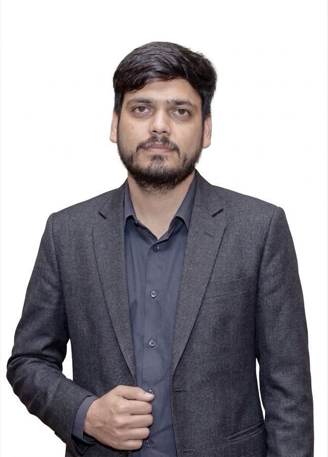 Nikesh BhattaraiBridge & Road Design
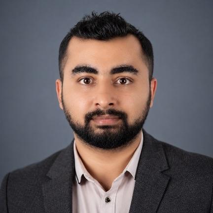 Kushal BaralHydropower & Hydrology
 Tridev GuptaArchitecture & Master Planning
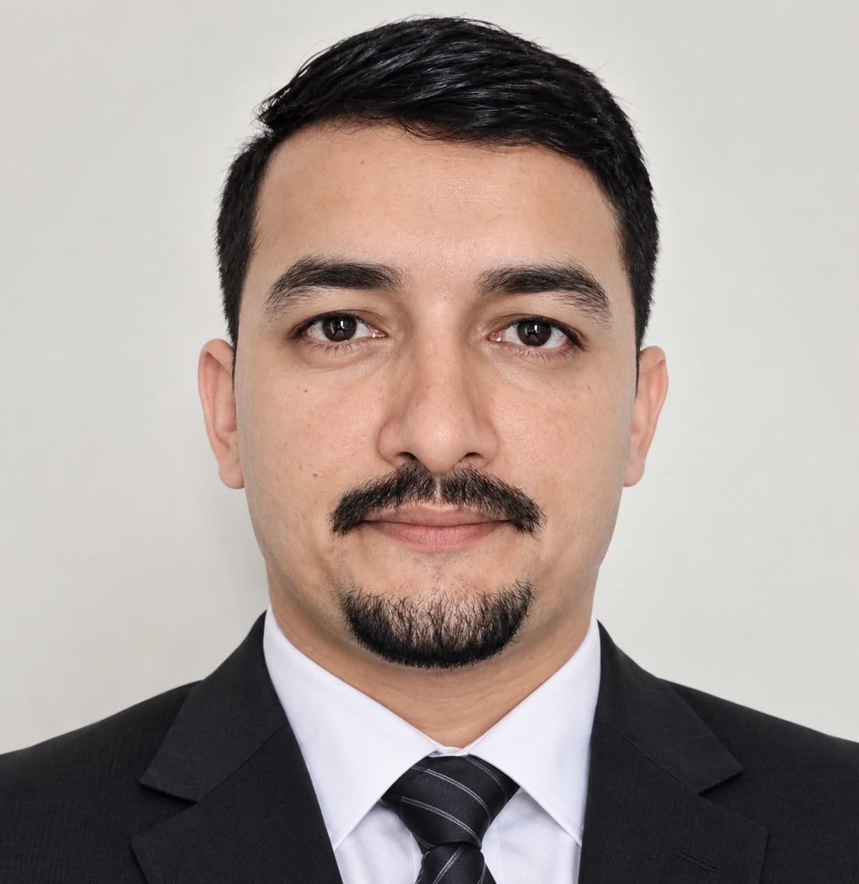 Sunil TiwariIndustrial & Mechanical Engineering
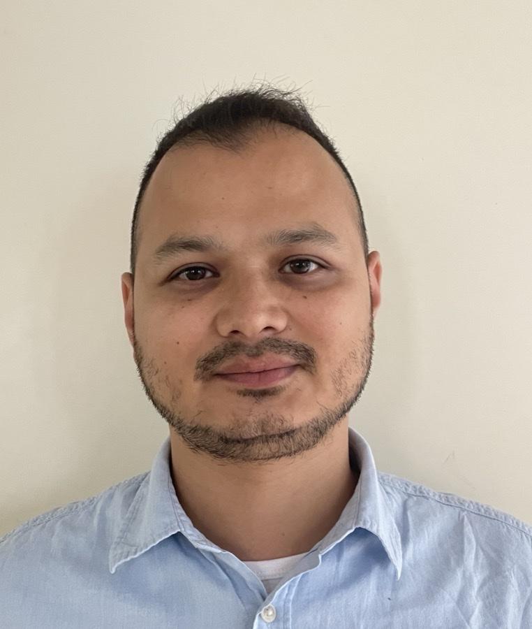 Susen ShresthaGlacio-hydrology & Climate
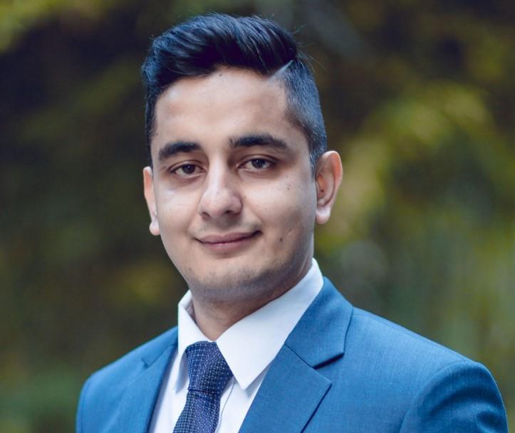 Amnaya PaudelEnergy & Electrical
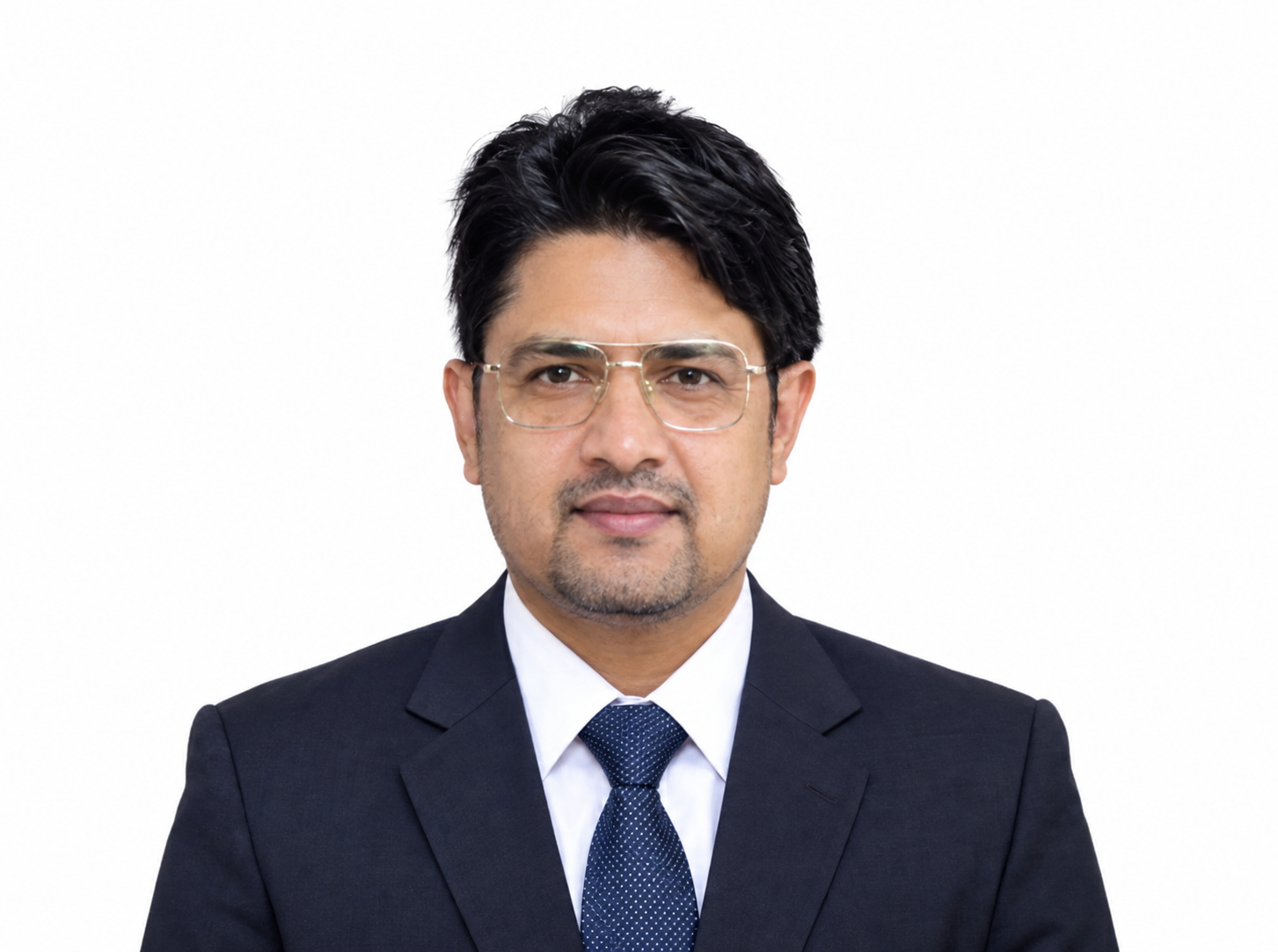 Jeevan GaireEnvironmental Assessment
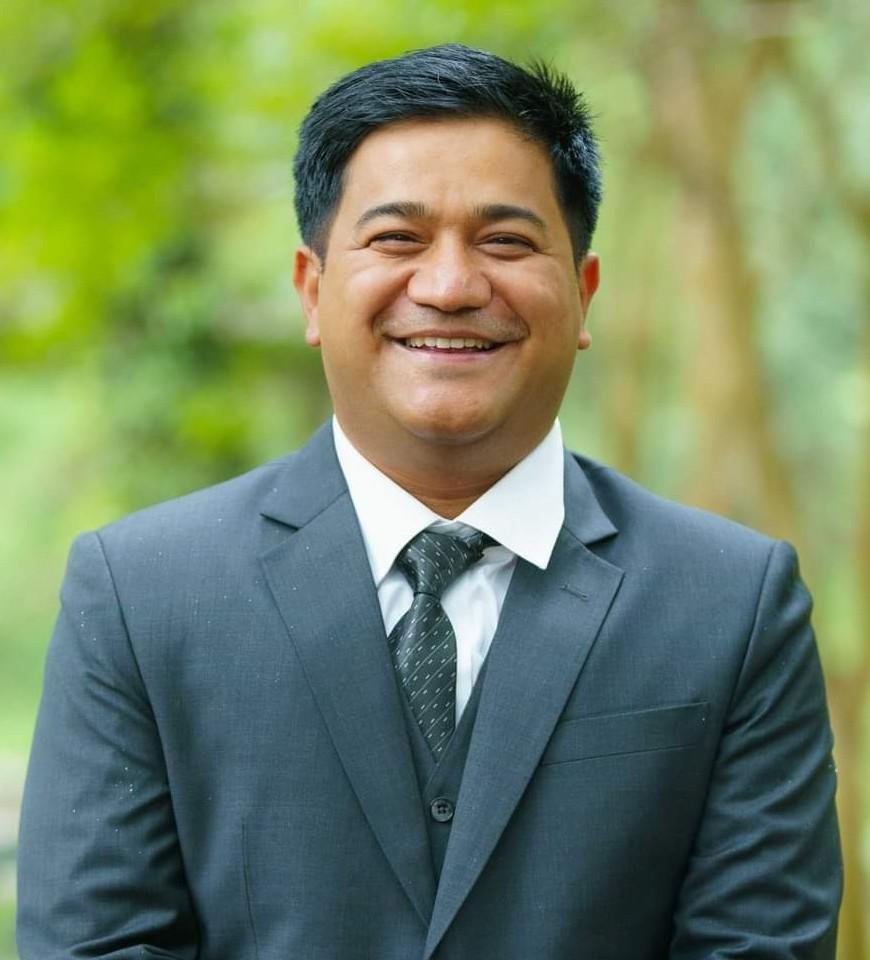 Samit ThapaEnvironment & Climate Change
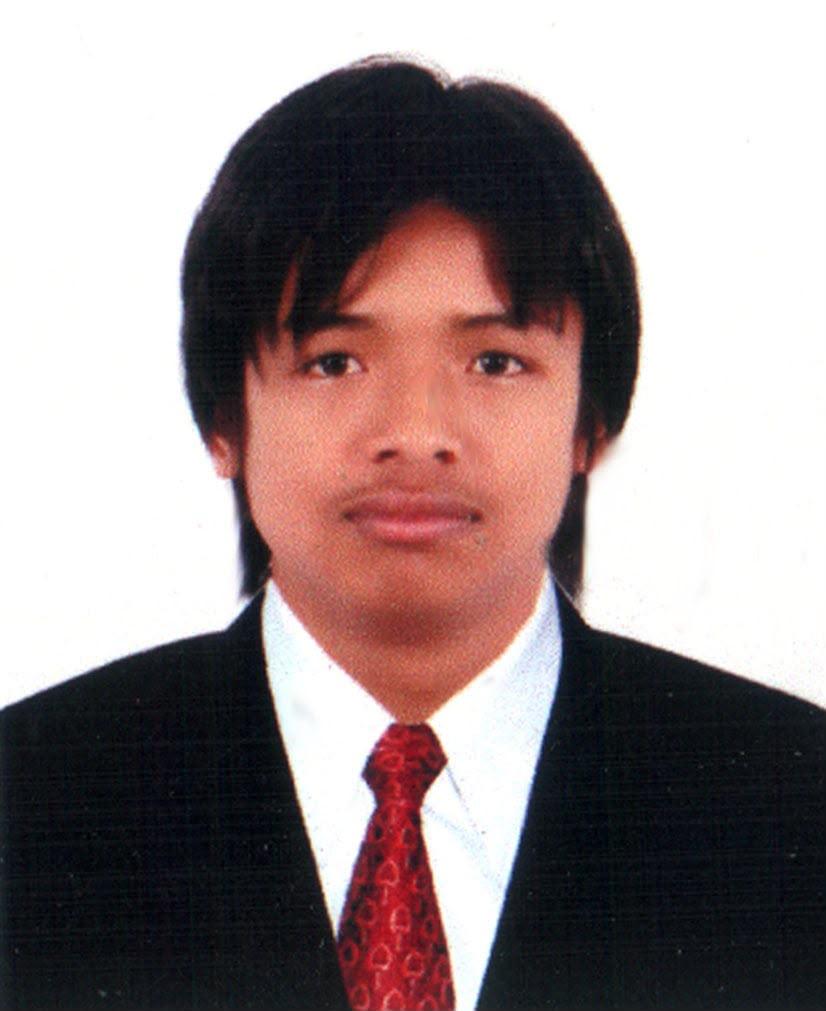 Rajan Babu ShresthaHydrology & River Survey
 Smita KhadkaEnvironmental Science & GIS
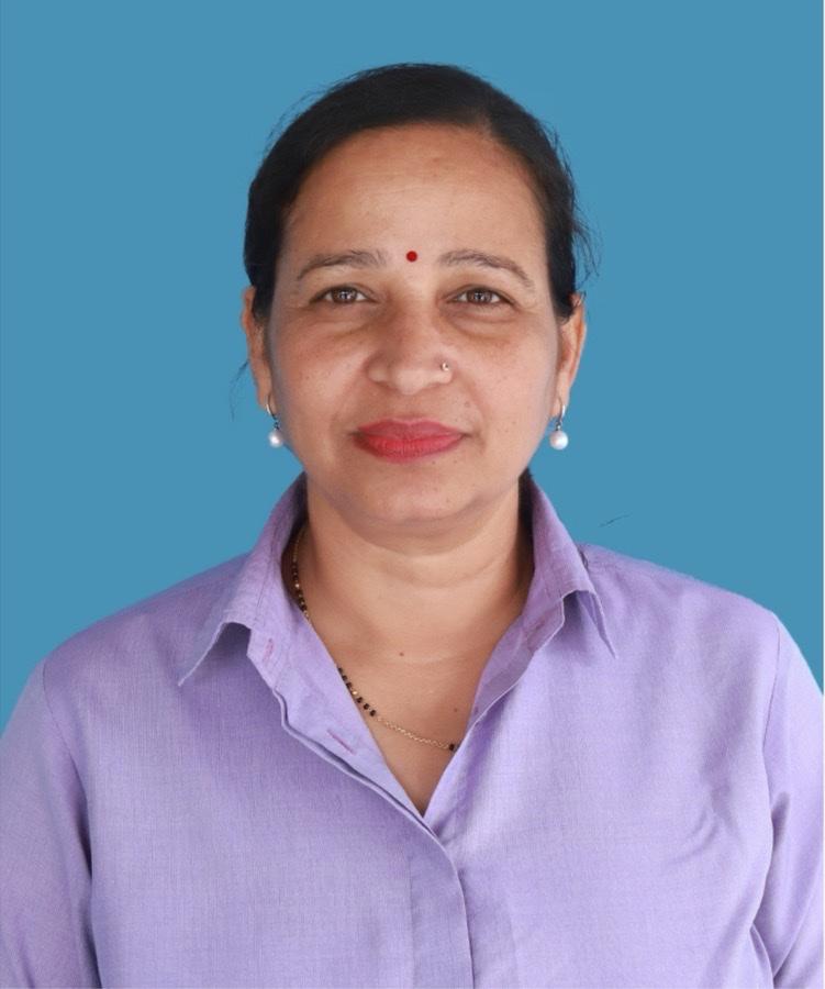 Sirjana BaralSocio-economics
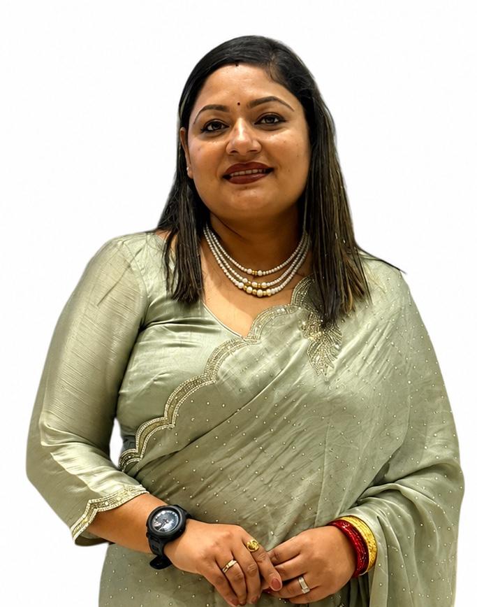 Srijana BhattaraiSocial Development
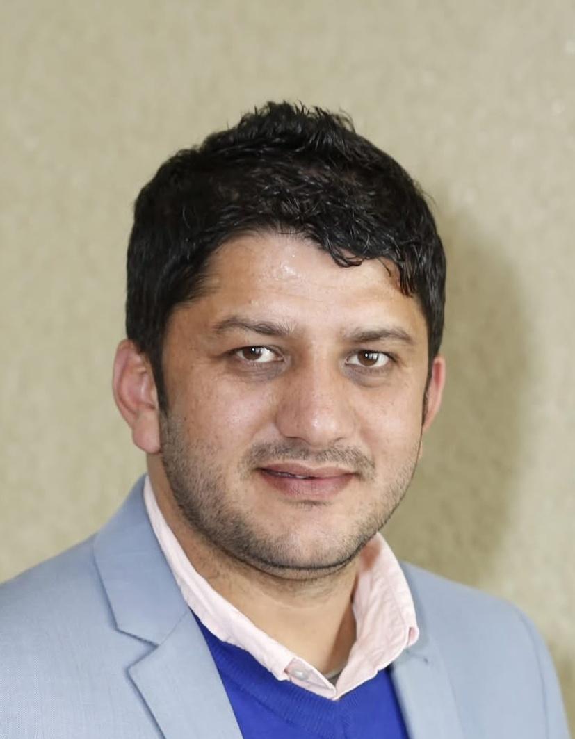 Bhesh Raj ThapaWater Resources
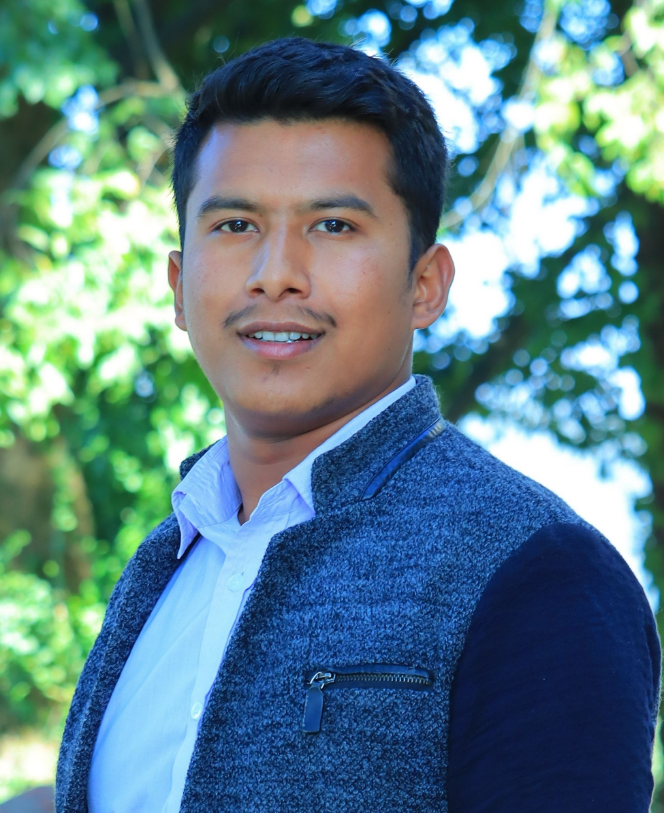 Kripesh AdhikariHydrology & Cryosphere
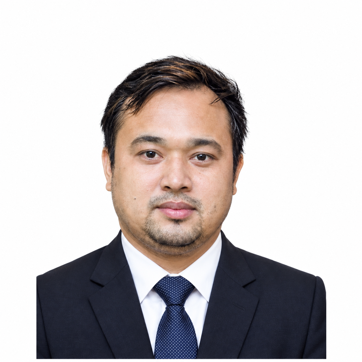 Anil GongolConstruction Supervision
Need a survey, a design package, or a multi-disciplinary study team?
Tell us about the corridor, basin, or facility. We will respond with the right mix of engineering and field capability.