
Cryosphere & Glacial Hazard Assessment
Inventory of glaciers and glacial lakes from satellite imagery, glacial lake hazard ranking, field verification by bathymetric and topographic survey, and long-term monitoring recommendations.
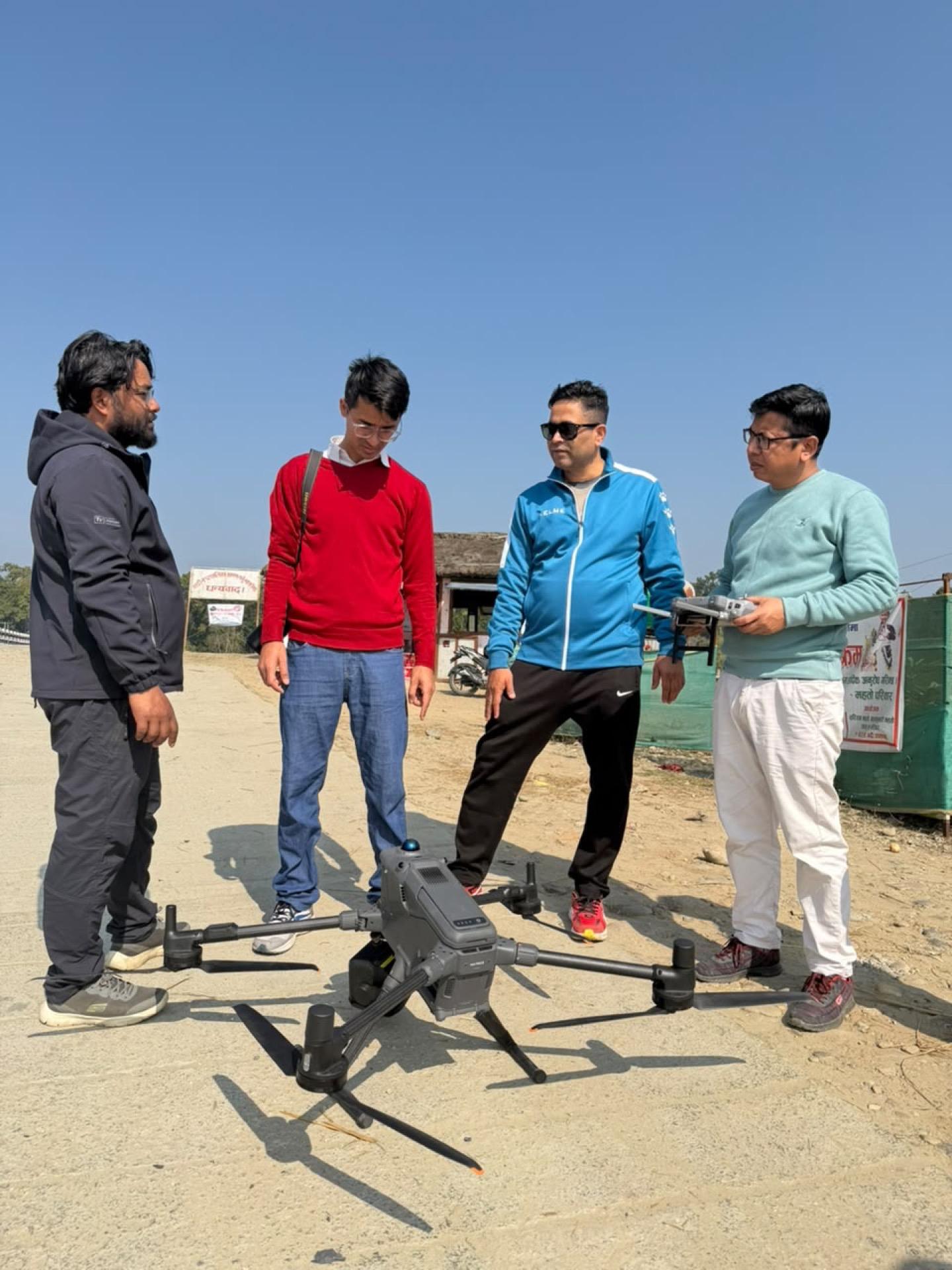
Glacial lake outburst floods are the hazard where Nepal's exposure is growing fastest and its data is thinnest. Lakes form, grow and destabilise on a decadal timescale while the hydropower and settlement downstream of them is designed on the assumption of a static catchment.
e2services carries out inventory of glaciers and glacial lakes using satellite imagery and remote sensing, then ranks and prioritises those lakes by hazard so that limited field budget goes to the ones that matter. Remote inventory is the only affordable way to cover the range; ranking is what makes it actionable.
The step most assessments stop short of is field verification, and it is the step we are equipped for. Bathymetric and topographic survey of a high-hazard lake establishes actual stored volume and moraine geometry, which is what governs breach magnitude — and remote sensing simply cannot supply it. Our bathymetric survey of Rara Lake at altitude in Mugu, delivered for the Department of Hydrology and Meteorology, is directly transferable capability.
Detailed feasibility assessment then addresses what can be done about a specific lake, and monitoring recommendations set out how it should be watched over the long term — because a hazard assessment that is not repeated becomes a historical document.
What we deliver
- Inventory of glaciers and glacial lakes using satellite imagery and remote sensing
- Glacial lake hazard ranking and prioritization
- Field verification of high-hazard lakes by bathymetric and topographic survey
- Detailed feasibility assessment of high-hazard glacial lakes
- Recommendations for long-term glacial lake monitoring systems
How the work runs
- 01
Remote inventory
Glaciers and glacial lakes inventoried from satellite imagery across the study region, with change detection over the available image series.
- 02
Hazard ranking and prioritisation
Lakes ranked on growth, moraine condition, upstream triggers and downstream exposure, to direct field effort where it earns most.
- 03
Field verification
High-hazard lakes surveyed on the ground — bathymetry for stored volume, topographic survey for moraine and outlet geometry.
- 04
Detailed feasibility assessment
Breach scenarios and intervention options assessed for the highest-priority lakes.
- 05
Monitoring design
Long-term monitoring system recommended, so the assessment continues to be true after the study closes.
What you receive
- Glacier and glacial lake inventory with change detection
- Hazard ranking and prioritisation of lakes
- Bathymetric survey data and stored volume estimates
- Topographic survey of moraine and outlet geometry
- Detailed feasibility assessment of high-hazard lakes
- Breach scenario and downstream impact assessment
- Long-term monitoring system recommendations
- GIS database of cryosphere features
Common questions
Can you actually survey a lake at high altitude?
We delivered bathymetric and topographic survey of Rara Lake in Mugu for the Department of Hydrology and Meteorology. High-altitude, remote-access lake survey is proven capability rather than a proposal, and it is what separates a verified hazard assessment from a remote-sensing estimate.
Why does field verification matter if satellite inventory exists?
Because breach magnitude is governed by stored volume and moraine geometry, and neither can be measured from imagery. A surface area from satellite tells you the lake is large; bathymetry tells you how much water would actually arrive downstream.
Need a survey, a design package, or a multi-disciplinary study team?
Tell us about the corridor, basin, or facility. We will respond with the right mix of engineering and field capability.